

Feature Highlights

≤ 1 cm Accuracy

Real-time Colorization

Multi-SLAM Algorithms

Georeferenced Point Cloud

Multi-Scenario Adaptation
Indoor & Outdoor Scanning
Smaller Size, Larger Capability
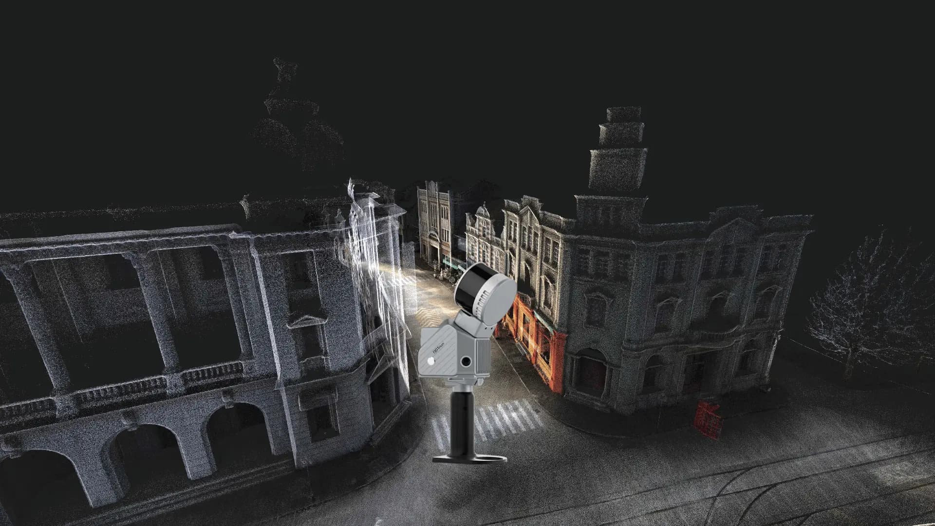
The FJD Trion S2 LiDAR Scanner boasts advanced VIO and SLAM algorithms for generating high-quality and reliable point clouds. Supporting over 8000 coordinate systems, the S2 eliminates the need for time-consuming manual coordinate conversions. By integrating with FJD Trion Scan and Model software and utilizing practical accessories like stabilizing vest, drone mount, car mount, and robot dog mount, the S2 enhances data capturing and processing efficiency for outdoor surveying projects.
Key Benefits
Multi-Module Integration
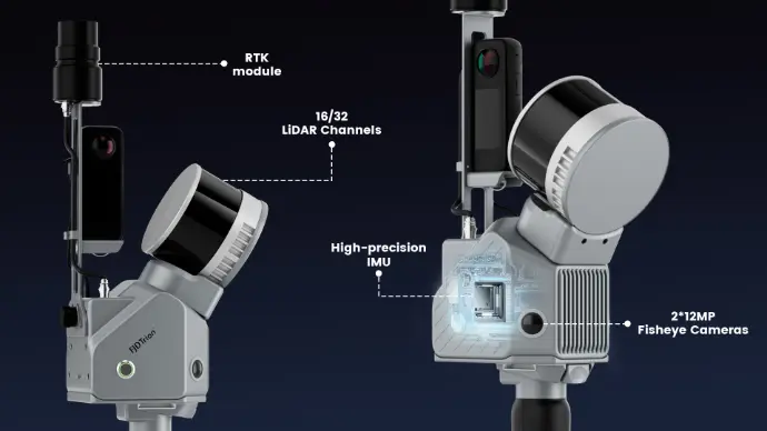
Integrate camera, IMU, and RTK modules into a compact form of 1.8 kg in weight, allowing you to carry it around for various surveying projects.
Multi-SLAM Algorithms for Accurate Output
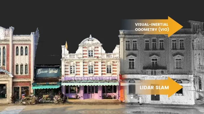
Embed two 48MP cameras to generate high-resolution images with advanced Visual-Inertial Odometry (VIO) and SLAM algorithms, delivering accurate results even in complex environments with fewer feature points.
Georeferenced Point Clouds
With an integrated RTK module, directly get georeferenced point clouds on the go. RTK & PPK support ensure accurate data collection in dense tree canopies and other signal-challenging areas. Plus, with over 8000 coordinate systems, no fear of tedious coordinate conversions anymore!
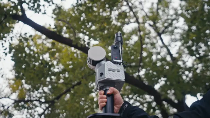
Effortless Scanning & Carrying
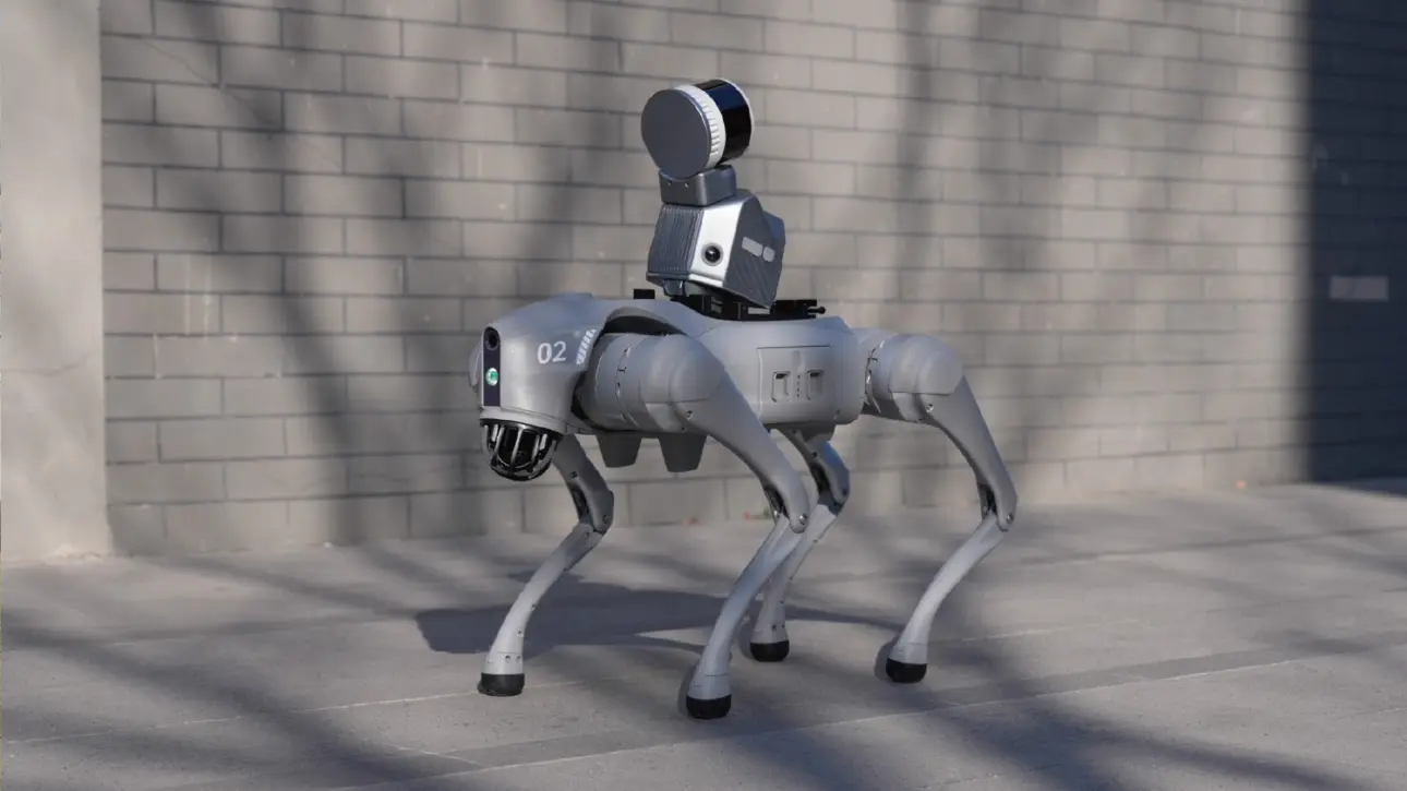
Capture point clouds in all directions even in hard-to-reach areas with practical accessories, including the stabilizing vest, extension pole, car and drone mounts, robot dog, and rolling suitcase. You can just go and scan anytime, anywhere.
All-in-One Seamless Workflow
Data Collection
Scan with ease: capture, preview, and perfect in real time. The S2's instant colorized point cloud visualization lets you verify scan quality and coverage on-site, eliminating missed areas and rework before you pack up.
Data Processing
FJD Trion Model provides comprehensive data processing capabilities. From point cloud registration to modeling analysis, it automates the workflow with a wide range of features, including 2D mapping, 3D mesh modeling, Gaussian splatting, cross-section analysis, and report generation. You can use it on both PC and iPadOS platforms.
Collaborate and Deliver
The cloud platform makes team collaboration more convenient and efficient. By supporting simultaneous online review, this platform synchronizes data changes in real time for progress transparency.
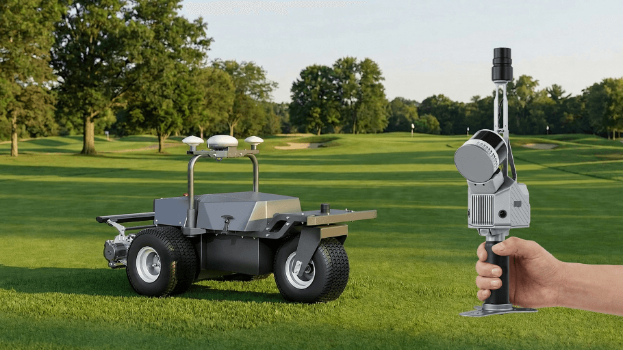
Scan once. Power an entire course.
With an extended scanning range of up to 300 m, the FJD Trion S2 Max is built to capture expansive golf courses with greater speed and coverage. Transform the entire course into one accurate digital asset to support autonomous mower deployment, route planning, and intelligent course management.
Designed to Work Together
Capture, process, and deliver your 3D data within one connected FJD Trion workflow.
Data Collection
FJD Trion Scan
App based real time control and scan file management.
Data Processing
FJD Trion Model
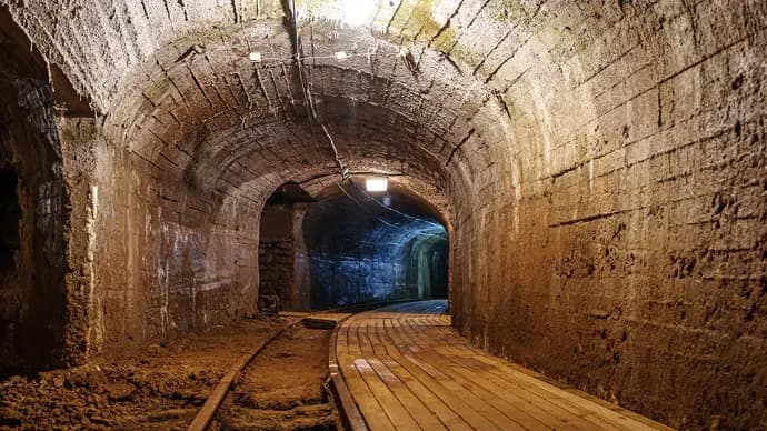
Generate reports for construction, forestry, mining, and more.
Generate Deliverables
FJD Trion Model for Tablets
On site post processing and preview with iPad and Android support.
Cloud Collaboration
FJD Trion Model Web
Share data online and collaborate with your team seamlessly.
Application Scenarios




Specifications
Manufacturer figures from FJDynamics — S2 / S2 Pro / S2 Max, as shown.
LiDAR
- Range
- S2 & S2 Pro: 120 m @ 80% reflectivity / 80 m @ 10% reflectivity — S2 Max: 300 m @ 80% reflectivity / 80 m @ 10% reflectivity
- Channels
- S2: 16 — S2 Pro & S2 Max: 32
- Speed
- S2: 320,000 pts/s — S2 Pro & S2 Max: 640,000 pts/s
- Safety Level
- Eye Safety Class I (905nm)
- FOV
- 360° × 270°
System Parameters
- Relative Accuracy
- ≤ 1 cm
- Absolute Accuracy
- 3 cm
- Weight
- 1.8 kg (excluding battery, external camera and GNSS module)
- Battery Life
- 3 h (with 1 set of 2 batteries)
- Storage
- 512 GB SSD (1 TB expandable)
- Operating Temperature
- -20°C to 50°C
- Power Consumption
- 25 W
- Data Export
- Wi-Fi, USB Type-C, USB Flash Disk
- Point Cloud Format
- .las / .ply / .pts / .e57
- Power Supply
- 10.8 V, 3 A
Camera
- Resolution
- 2 x 48 MP
- FOV
- 200°
- Visual SLAM
- Supported
- Image Export
- Supported
- Image Format
- .jpg
GNSS
- Satellite Constellation
- BDS: B1I / B2I / B3I / B1C / B2a / B2b — GPS: L1 C/A / L1C / L2P(Y) / L2C / L5 — GLONASS: G1 / G2 / G3 — Galileo: E1 / E5a / E5b / E6 — QZSS: L1C/A / L1C / L2C / L5
- GNSS Accuracy
- H: 8 mm + 1 ppm RMS / V: 15 mm + 1 ppm RMS
- PPK
- Supported
See S2 mapped to your course.
SmartTurf demonstrates, deploys and supports every machine we sell, here in New Zealand. Book a demo on your own site and see the numbers for yourself.