
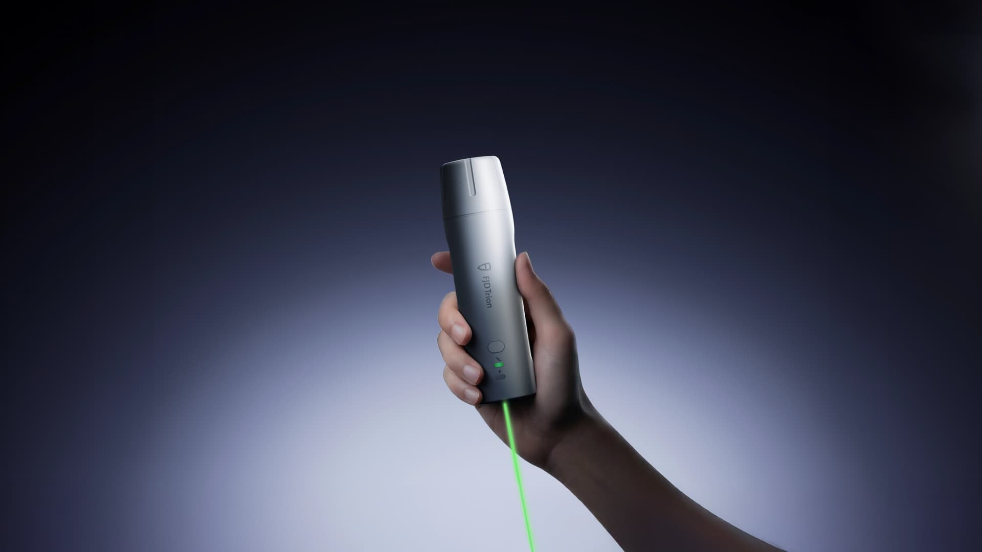
Handheld GNSS Receiver
FJD Trion V4e Pro
Handheld Laser GNSS Receiver, made simpler.
Pole-Free, Worry-Free
Still stuck setting up poles, fighting awkward angles, and second-guessing your measurements? FJD Trion V4e Pro is built to remove the friction from everyday field work. It lets you point, measure, and move on with confidence, even in challenging conditions. No extra setup, no careful posture, no repeated checks.
What Sets It Apart
Just Point, V4e Pro Handles the Rest
No poles to carry, set up, or reposition. Capture accurate coordinates by simply pointing, even at angles up to 60°, with precision down to ±3.5 cm.
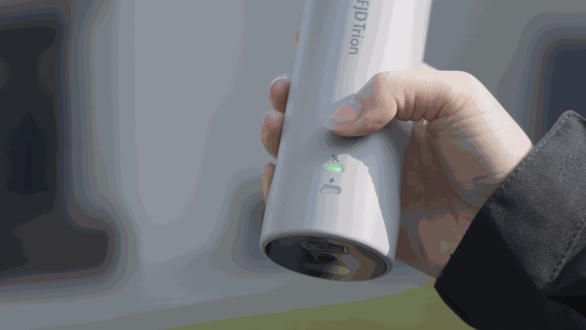
Hit the Target Every Time
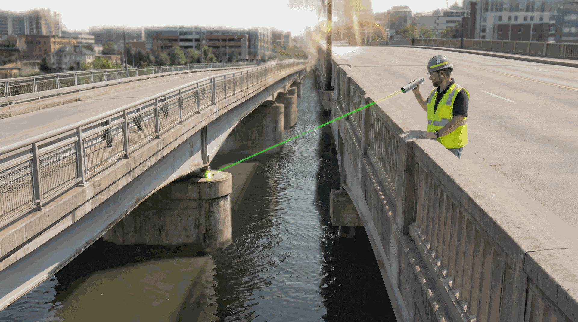
Just turn on the laser and follow the green beam to your stakeout point. The system confirms the position the moment you hit the target.
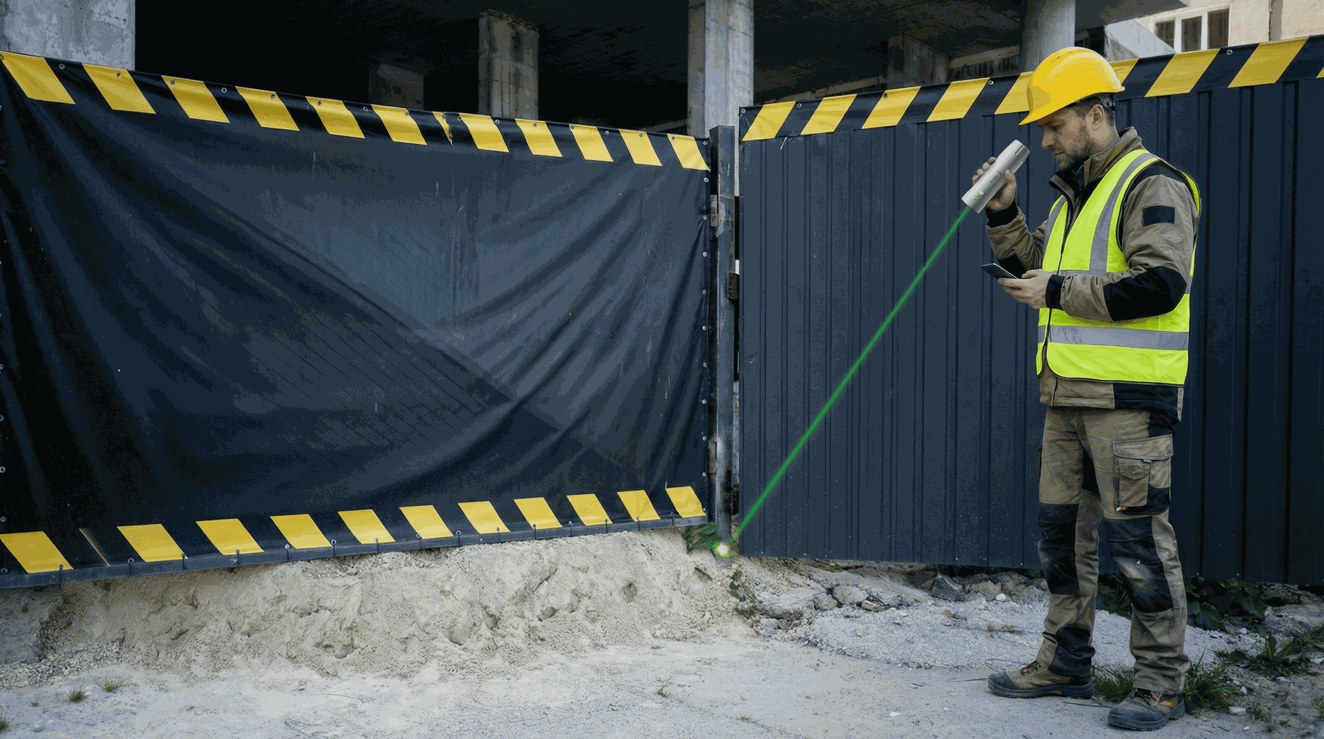
Made for Difficult Access Areas
Capture hard-to-reach spots without stepping in. Point and measure from where you stand, without physical access to the target.
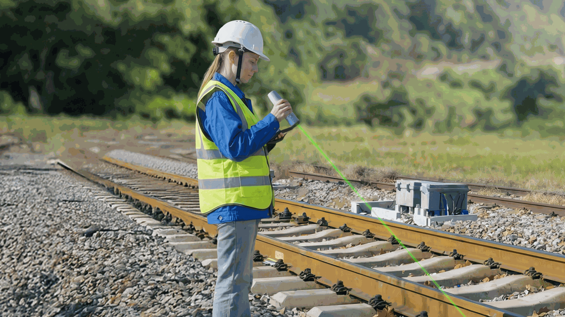
Visible Under Sunlight
The bright green laser remains clearly visible in sunlight, so you can aim quickly and confirm points with confidence.
Grab and Go
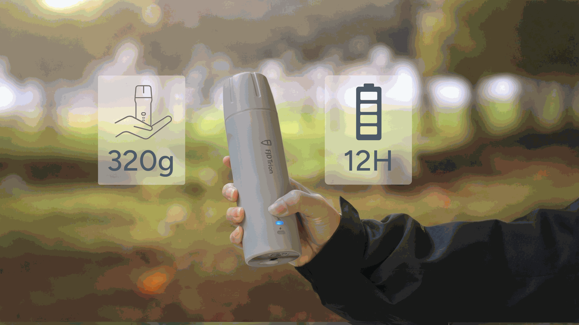
Light enough to carry all day, powerful enough to keep up. Weighing just 320 g, it powers through 12 hours of work, recharges in under 3 hours, and stands up to 1.2 m drops on site.
Precision Across Every Field
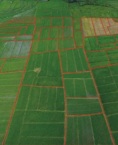
V4e helps bring reliable GNSS positioning to broader field workflows. Use it with FieldFusion to collect field data and manage boundaries.

Helps You Get It Right, Anywhere




Specifications
Manufacturer figures from FJDynamics — V4e & V4e Pro, as shown.
Galaxy System
- BDS (Beidou)
- B1I, B2I, B3I, B1C, B2a, B2b*
- GPS
- L1 C/A, L2P, L5
- GLONASS
- G1, G2
- Galileo
- E1, E5a, E5b, E6*
- QZSS
- L1, L2, L5
- SBAS
- L1 C/A
- Channels
- 1408 (*firmware support coming soon)
Data Types
- Differential Data Formats
- RTCM 2.3, RTCM 3.x, CMR
- Output Data Format
- NMEA-0183
Precision and Reliability
- Signal Reacquisition Time
- ≤1 s
- TTFF
- Cold start: ≤30 s — Hot start: ≤5 s
- GNSS Initialization Time
- <5 s
- Initialization Data Reliability
- >99.9%
- Data Update Rate
- Measurement & positioning: 1/2/5/10/20 Hz
- Single Point Solution Accuracy (RMS)
- H≤1.5 m, V≤2.5 m
- DGPS (RMS)
- H≤0.4 m, V≤0.8 m
- GNSS (RMS)
- H≤0.8 cm+1 ppm, V≤1.5 cm+1 ppm
- Time Accuracy (RMS)
- 20 ns
- Speed Accuracy (RMS)
- 0.03 m/s
- Laser Tilt Measurement Accuracy (V4e Pro)
- ≤3 cm error at 3 m distance (θ≤30°)
- Tilt Measurement Accuracy (V4e Pro)
- 3D error ≤2.5 cm (θ≤30°), 3D error ≤3.5 cm (θ≤60°)
Electrical and Interface Parameters
- Charging Specs
- 5V/2A
- Power Consumption
- ≤1.5 W
- Electrical Interface
- USB 2.0 Type-C
- Charging Time
- ≤3 h
Physical Characteristics
- Shell Material
- PC+ABS
- Buttons
- On/Off
- Operating Temperature
- -20°C to 60°C
- Dimensions
- 182 × 53 × 53 mm
- Mounting Interface
- 1/4 thread internal interface
- Indicator Lights
- Fixed disassembly & charging
- Charging Temperature
- 0°C to 45°C
Communication
- BT 4.0
- Dual-mode, working distance: 5 m
- Wi-Fi (Base Station Mode)
- 2.4 G, working distance: 5 m (base station protocol)
See V4e Pro mapped to your course.
SmartTurf demonstrates, deploys and supports every machine we sell, here in New Zealand. Book a demo on your own site and see the numbers for yourself.